Dissolved oxygen

Status: Purely descriptive

Essential for good water quality, dissolved oxygen is required for the healthy functioning of the marine environment and marine life survival. Photosynthesis and delivery through the water surface are how oxygen enters the marine environment. Other factors such as water movement over rocks and colder temperatures (but it is worth nothing that there will be less oxygen in ice covered waters due to coverage and blocking atmospheric oxygen entry) can help increase oxygen in the marine environment. Oxygen in the marine environment is consumed by organisms as well as being removed through ‘microbial activity involved in the breakdown of organic matter contained in natural detritus, sediments and discharges of organic waste from sewage treatment plants and industry’ (Baxter, et al, 2011). If removal of oxygen exceeds the oxygen supplied through these means then it is considered depleted. Water is considered hypoxic when dissolved oxygen is significantly depleted (between 0.2 and 2 mg/l), and anoxic when the water is virtually without oxygen (between 0 and 0.2 mg/l). There is limited region specific data on dissolved oxygen for the Solway Firth which highlights a knowledge gap for this topic. According to a recent publication hypoxia has not been detected in marine UK waters (Marine Climate Change Impacts Partnership, 2020).

The Water Framework Directive (Directive 2000/60/EC) seeks to improve the condition and sustainable use of water bodies, with all water bodies required to reach ‘Good ecological status‘, or ‘Good ecological potential‘ if the water body is artificial or heavily modified. There are earlier deadlines but 2027 is the final deadline permitted. Different parameters are used to measure when a water body reaches ‘good‘ status. The status/quality of a water body is classified in accordance with Annex V off the directive which lists; ‘Quality elements for the classification of ecological status’. There are lists of elements for the classification of; rivers, lakes, transitional waters, coastal waters, and artificial/heavily modified water bodies, with Oxygenation conditions being considered in the list for each type of water body. For more information on water body classification see the Transitional and Coastal waters section of the Solway Review.

There are no ‘artificial‘ water bodies in the Scottish Solway Firth, but the ‘Nith Estuary’, ‘River Dee (Loch Ken Outlet to Tongland)’, ‘Tarff Water’, and ‘Black Stank’ are all classed as ‘Heavily modified’ water bodies and flow into the Solway, or in the case of ‘Black Stank’ into Loch Ryan. They are also all rivers with the exception of the Nith Estuary which is classed as a ‘transitional’ water body, and is included in the table below. On the English side the Solway there are both heavily modified and artificial water bodies. These are indicated in the English Solway table below.

In Scotland the work to implement the Directive is the responsibility of the Scottish Environmental Protection Agency (SEPA) and in England it is the responsibility of the Environment Agency (EA).

In the recent Marine Climate Change Impacts Partnership recently published Report Card 2020, highlighted that oxygen levels in the UK’s marine waters will decrease as climate change causes the ocean temperature to rise. Globally dissolved oxygen levels in the ocean have declined by 2% since the 1960’s, with predictions that the global ocean could see an additional 4% decrease by the end of the century. More concerning is the consideration that within areas of UK waters could see a staggering decline of dissolved oxygen concentrations of up to 11.5% (Marine Climate Change Impacts Partnership, 2020).


Image; © European Commission – European Atlas of the Seas Interactive Mapping

Dissolved oxygen

The situation in the Scottish Solway Firth

Name and Water body Type

(C) Coastal

(T) Transitional

Status

(Data Not Available or not applicable is displayed as N/A)

Year
2007 2008 2009 2010 2011 2012 2013 2014 2015 2016 2017
Auchencairn Bay/Rough Estuary (T) Overall Moderate Good Good Good Good Good Good Good Good Good Good
D O2 N/A N/A N/A N/A N/A N/A N/A N/A N/A N/A N/A
Balcary Point to Kirkcudbright Bay (C) Overall Good Good Good Good High Good Good Good Good Good Good
D O2 High High High High High High High High High High High
Bladnoch and Cree Estuary (Outer) (T) Overall Good High High High High High Good Good Good Good Good
D O2 N/A N/A N/A N/A N/A N/A N/A N/A N/A N/A N/A
Cree Estuary (T) Overall High High High High High High High High High High High
D O2 N/A N/A N/A N/A N/A N/A N/A N/A N/A N/A N/A
Dee (Kirkcudbright) Estuary (T) Overall Moderate High High High High High High High High High High
D O2 N/A N/A N/A N/A N/A N/A N/A N/A N/A N/A N/A
Fleet Estuary (T) Overall Moderate Good Good Good Good Good Good Good Good Good Good
D O2 N/A N/A N/A N/A N/A N/A N/A N/A N/A N/A N/A
Luce Bay (C) Overall High Good Good Good Good Good Good Good Good Good Good
D O2 High High High High High High High High High High High
Mull of Galloway to Corsewall Point (C) Overall Moderate Good Good High High High Good Good Good Good Good
D O2 High High High High High High High High High High High
Piltanton and Luce Estuary (T) Overall Good High High High High High High High High Good Good
D O2 N/A N/A N/A N/A N/A N/A N/A N/A N/A N/A N/A
Southerness Point to Balcary Point (C) Overall Moderate Good Good Good Good Good Good Good Good Good Good
D O2 High High High High High High High High High High High
Solway Estuary (T) Overall High Moderate Moderate Moderate Moderate Moderate Good Moderate Moderate Moderate Moderate
D O2 N/A N/A N/A N/A N/A N/A N/A Good High High N/A
Solway Firth Offshore (C) Overall Good Good Good Good High High High High Good High High
D O2 High High High High High High High High High High High
Southwick Estuary (T) Overall Moderate High High High High High High High High High High
D O2 N/A N/A N/A N/A N/A N/A N/A N/A N/A N/A N/A
Wigtown Bay (C) Overall High Good Good Good Good Good Good Good Good Good Good
D O2 High High High High High High High High High High High
Nith Estuary (T) (Heavily Modified)

Overall Poor  Good Ecological Potential Good Ecological Potential Good Ecological Potential Good Ecological Potential Good Ecological Potential Good Ecological Potential Good Ecological Potential Good Ecological Potential Good Ecological Potential Good Ecological Potential
D O2 N/A N/A N/A N/A N/A  N/A N/A N/A N/A N/A N/A
Loch Ryan (C)

Overall

Moderate

Moderate Moderate Moderate Moderate Moderate Good Good Good Good Good
D O2 High High High High High High High High High High High
Loch Ryan Offshore (c)

Overall

Moderate

Good Good High High High Good Good Good Good Good
D O2

High

High High High High High High High High High High

Table Source; Scottish Environmental Protection Agency (n.d)

Dissolved oxygen

The situation in the English Solway Firth


River basin district Management catchment Operational catchment Water body

(T) Transitional

(C) Coastal

(R) River

(G) Groundwater

Status

(Data Not Available or not applicable is displayed as N/A)

Year

2009 2010 2011 2012 2013 2014 2015 2016
Solway Tweed Solway Tweed TraC Solway Firth Solway (T) Overall Moderate Moderate Moderate Moderate Moderate Moderate Moderate Moderate
D O2 High Good Good Good Good Good Good High
Eden and Esk Eden Lower Eamont to Tidal (R) Overall Moderate Moderate Moderate Moderate Moderate Moderate Good Good
D O2 High High High High High High High High
Powburgh Beck (R) Designated as Heavily Modified Overall Moderate Moderate Moderate Moderate Moderate Moderate Moderate Moderate
D O2 N/A N/A N/A N/A N/A High High High
Solway Tweed Groundwater Carlisle Basin Triassic and Jurassic Aquifers Carlisle Basin Triassic and Jurassic Aquifers (G) Overall Good Good Good Good Good Good Good Good
D O2 N/A N/A N/A N/A N/A N/A N/A N/A
Eden Valley and Carlisle Basin Permo-Triassic Sandstone Eden Valley and Carlisle Basin Permo-Triassic Sandstone (G) Overall Poor Poor Poor Poor Poor Poor Poor Poor
D O2 N/A N/A N/A N/A N/A N/A N/A N/A
Waver and Wampool Waver-Wampool Causewayhead (Wath) Beck (R) designated as artificial  Overall Moderate Moderate Moderate Moderate Moderate Moderate Moderate Moderate
D O2 Good Good Good Bad Bad Poor Poor Bad
North West Derwent North West


Derwent Derwent -Conf Cocker to Tidal (R) Overall Moderate Moderate Moderate Moderate Moderate Moderate Good Good
D O2 High High High High High High High High
Ellen and West Coast


Crookhurst Beck (R)

Overall Poor Poor Poor Good Poor/
Good
Good/
Moderate
Moderate Moderate
D O2 High High High High High High High High
Black Dub (R)

Overall Moderate Moderate Moderate Good Good Moderate Moderate Moderate
D O2 N/A N/A  N/A  High High High  Good Moderate
North West Groundwater Cumbria West Permo-Triassic Sandstone Aquifer West Cumbria Permo-Triassic Sandstone Aquifers (G) Overall Good Good Good Good Good Good Good Good
D O2 N/A N/A N/A N/A N/A N/A N/A N/A
Derwent and Cumbria West Lower Paleozoic and Carboniferous Aquifer Derwent and West Cumbria Lower Paleozoic and Carboniferous Aquifers (G) Overall Poor Poor Poor Poor Poor Poor Poor Poor
D O2 N/A N/A N/A N/A N/A N/A N/A N/A
North West TraC North West Region Coastal Waters Solway Outer South (C) Overall Moderate Moderate Moderate Moderate Good Good Moderate Moderate
D O2 High High High High High High High High
Derwent Estuary Derwent (T) Designated as a heavily modified water body  Overall Good Good Good Good Good Good Moderate Moderate
D O2 N/A N/A N/A N/A N/A N/A N/A N/A
Ellen and West Coast Estuary Maryport (T) Designated as a heavily modified water body  Overall Moderate Moderate Moderate Moderate Moderate Moderate Moderate Moderate
D O2 N/A N/A N/A N/A N/A N/A N/A N/A

Table Sources; Classification Data for the Solway Tweed River Basin District (Environment Agency (n.d.b))  & North West River Basin District (Environment Agency (n.d.a))

Dissolved oxygen

References

Government of Northwest Territories (n.d.) Dissolved Oxygen. Available here. (Accessed: 06.08.20)

Marine Management Organisation. (n.d.). Marine Planning Evidence Base. Available here. (Accessed: 14.05.18)

Marine Scotland (n.d.). Scotland’s National Marine Plan Interactive. Available here. (Accessed: 06.08.19)

Mills, F., Sheridan, S. and Brown S. (2017). Clyde Marine Region Assessment. Clyde Marine Planning Partnership. pp 231, Available here. (Accessed: 14.05.18)

McLusky, D.S., Elliott, M., (2004) The Estuarine Ecosystem – Ecology, Threats, and Management. 3rd edition. Oxford: Oxford University Press.

Solway Firth Partnership (1996). The Solway Firth Review, Solway Firth Partnership, Dumfries. Available here. (Accessed 23.07.19)


In-Text References;

Baxter, J.M., Boyd, I.L., Cox, M., Donald, A.E., Malcolm, S.J., Miles, H., Miller, B., Moffat, C.F., (Editors), (2011). Scotland’s Marine Atlas: Information for the national marine plan. Marine Scotland, Edinburgh. pp 191. Available here. (Accessed 22.07.19)

Environment Agency (n.d.a) Classification Data for the North West River Basin District. Available here. (Accessed: 06.06.19)

Environment Agency (n.d.b) Classification Data for the Solway Tweed River Basin District. Available here. (Accessed: 06.06.19)

Marine Climate Change Impacts Partnership (2020). Report Card 2020. Available here. (Accessed: 06.02.21)

Scottish Environmental Protection Agency (n.d.). Water Classification Hub. Available here (Accessed: 08.10.18).


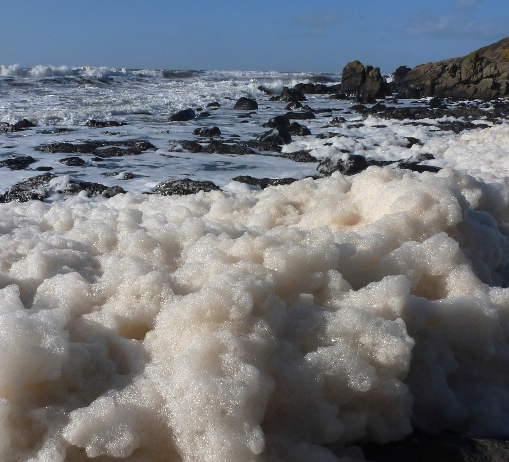
Image; Sea foam. © N. Coombey/ Solway Firth Partnership