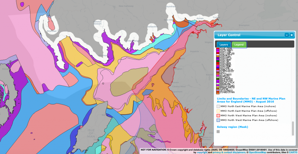
Seabed and coastal geology and sediments
Status: Purely descriptive
Geology and geological processes form the foundations for why the Solway Firth exists in its current form. Geology has impacted the ecosystems which have developed therein, the industries which can thrive, and the communities which settle in the surrounding area.
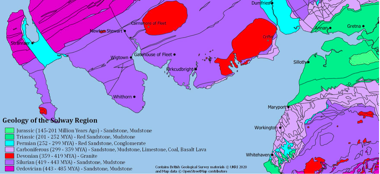
Over 400 million years ago (Silurian Period) there were two continents called Laurentia and Avalonia. These continents were located to the North and South, respectively, of the Lapetus Ocean. The land we now know as Scotland formed part of Laurentia, and England, Avalonia. Over the course of millions of years these continents moved closer together. Eventually, these two land masses collided, contributing towards the creation of Pangea by 250 million years ago. The silts and sands on the ocean floor of Laurentia folded into sandstones and formed the Southern Uplands of Scotland. During this process, superheated molten rock, or magma, rose and cooled, producing granite mounds under the Earths crust. As surrounding softer rocks weathered away these granite hills became exposed and today they are known as Criffel and Screel Hill on the Scottish Solway shore. The origins of the Scotland and England, as part of two different continents, is the reason for the vast differences in geology seen in two countries geographically close in the present.
340 million years ago (Carboniferous period) the Solway was near the equator and repeatedly cycled through shallow seas and swampy forests. The remains which are preserved today as coal seams resulted from the compression of vegetation by sediments. The sand and mud from the seas/forests allowed limestone beds to develop.
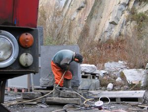
260 million years ago (Permian period) the Solway was an arid desert, forming red sandstone. This is still quarried in Dumfries and Galloway today and is a frequently seen in local features and buildings.

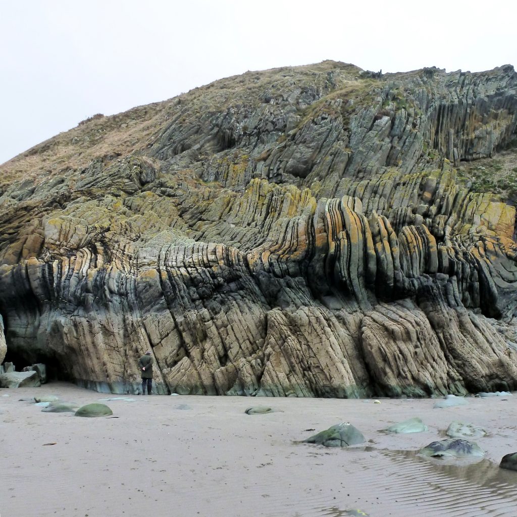
Permian Rocks at Loch Ryan. © N. Coombey
210 million years ago (Triassic period) the Solway was still hot with seasonal monsoons that washed sand into layers and then cemented to create sandstone.
Over the last 1.6 million years, the Solway was reshaped into what we see today. Glacial periods scoured valley bottoms and exposed layers of rock. The weight of ice during the last ice age caused land to sink. Now that the ice has melted some land is now rising slightly due to gradual post-glacial rebound. The Solway is one of these areas, offsetting a portion of sea level rise. This rebound will lessen over time, eventually stopping entirely.
To this day the ‘Solway Line’ is the geological boundary which separates Scotland and England and marks the fault where these once separate continents joined. Maryport also features a fault line between Triassic rocks and older Carboniferous rocks with coal containing outcrops.
Readers may also be interested in the Solway Review’s section on Intertidal Rock, sediments and biodiversity.
Image; Coral Fossil at Powillimount. © G. Reid/ Solway Firth Partnership